
March 29 to 31, Alxa Desert UNESCO Global Geopark successfully completed the aerial survey of 1:500 topographic mapping work at ADGGp museum and its surroundings.
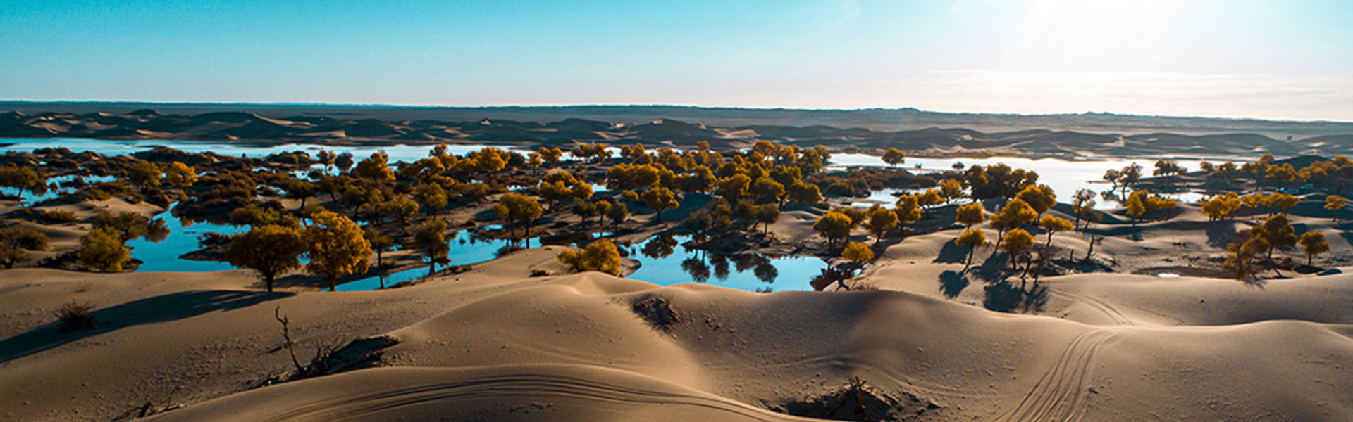
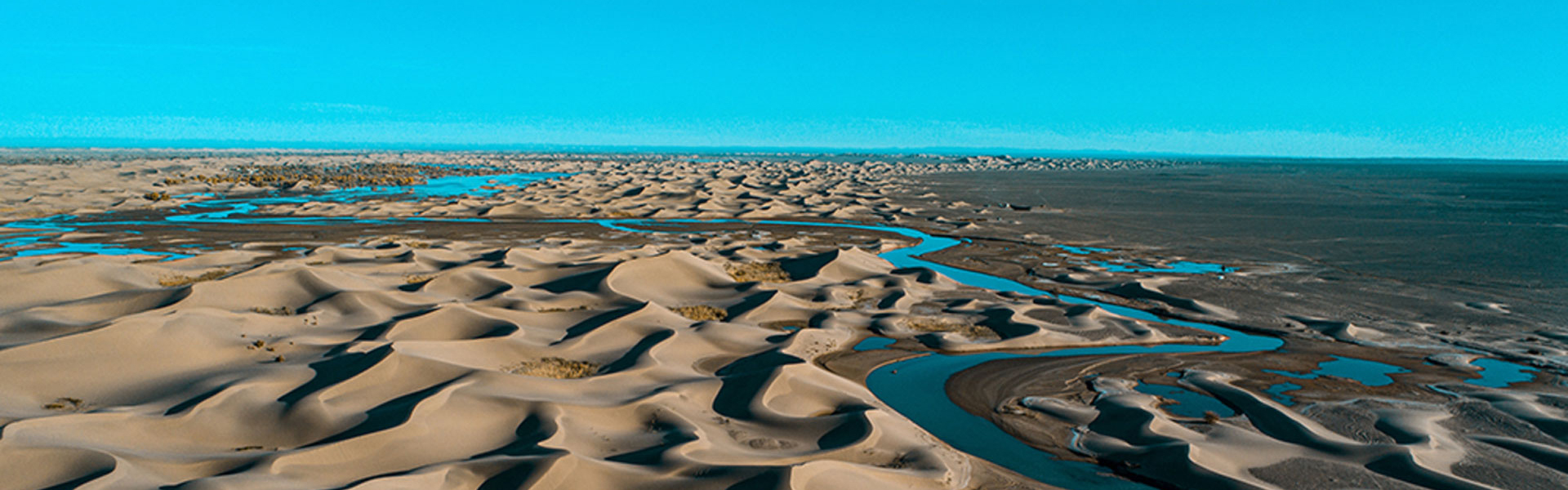
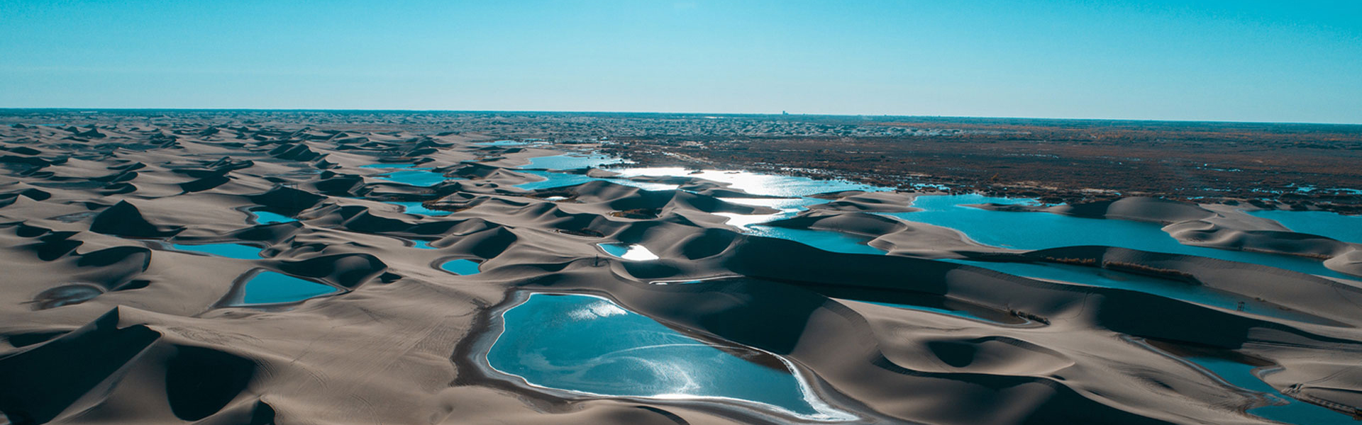
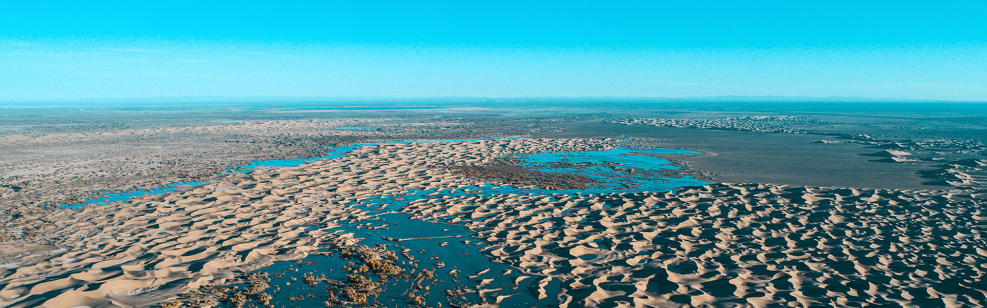
In order to achieve the goal of building an international tourism destination with unique desert landscape characteristics, Alxa League Government vigorously promoted the Geopark development in 2017, and then infrastructure construction of the geopark, especially for the museums. This aerial survey mission generated 4D products for desert museum and its surrounding area of 0.5 km2, including: DLG1:500 digital line drawing, DOM digital ortho image, DEM digital elevation model and DSM digital surface model.
It will provide basic, reliable and real measurement data for the later construction and tourism development of desert museum and its surroundings in ADUGGp

